Tarraleah - Stanley 5th Leg
Tarraleah - Stanley, Click here for Map
In
spite of the drizzle and cold, after 2 entire days of watching rain drops
coming down from the skies, it was time to come out of my temporary hibernation
and move on. Although it wasn’t easy to leave a perfect shelter, where the
desired room temperature was within a fingertip’s reach, and trade it for the
single digits outdoors; I must have seen this in my crystal ball when I purchased
the additional gear, as I left with every piece of bicycle clothing available
on my body.
 |
| Cold & Wet, but Good Gear |
|
Once
more I took the advice of a local and took the gravel logging road to Derwent
Bridge. It turned out to be a good choice, as the road snaked through forested
areas and was so sheltered from the winds.
 |
| Derwent Bridge Cafe |
|
The
Derwent Bridge Hotel provided containers converted to accommodations for low
budget travelers. The space was large enough to fit a bed a small table and
most important of all, a floor heater, just perfect to stay warm and dry!
 |
| Container Accommodation |
|
 |
| Derwent Bridge Pub |
|
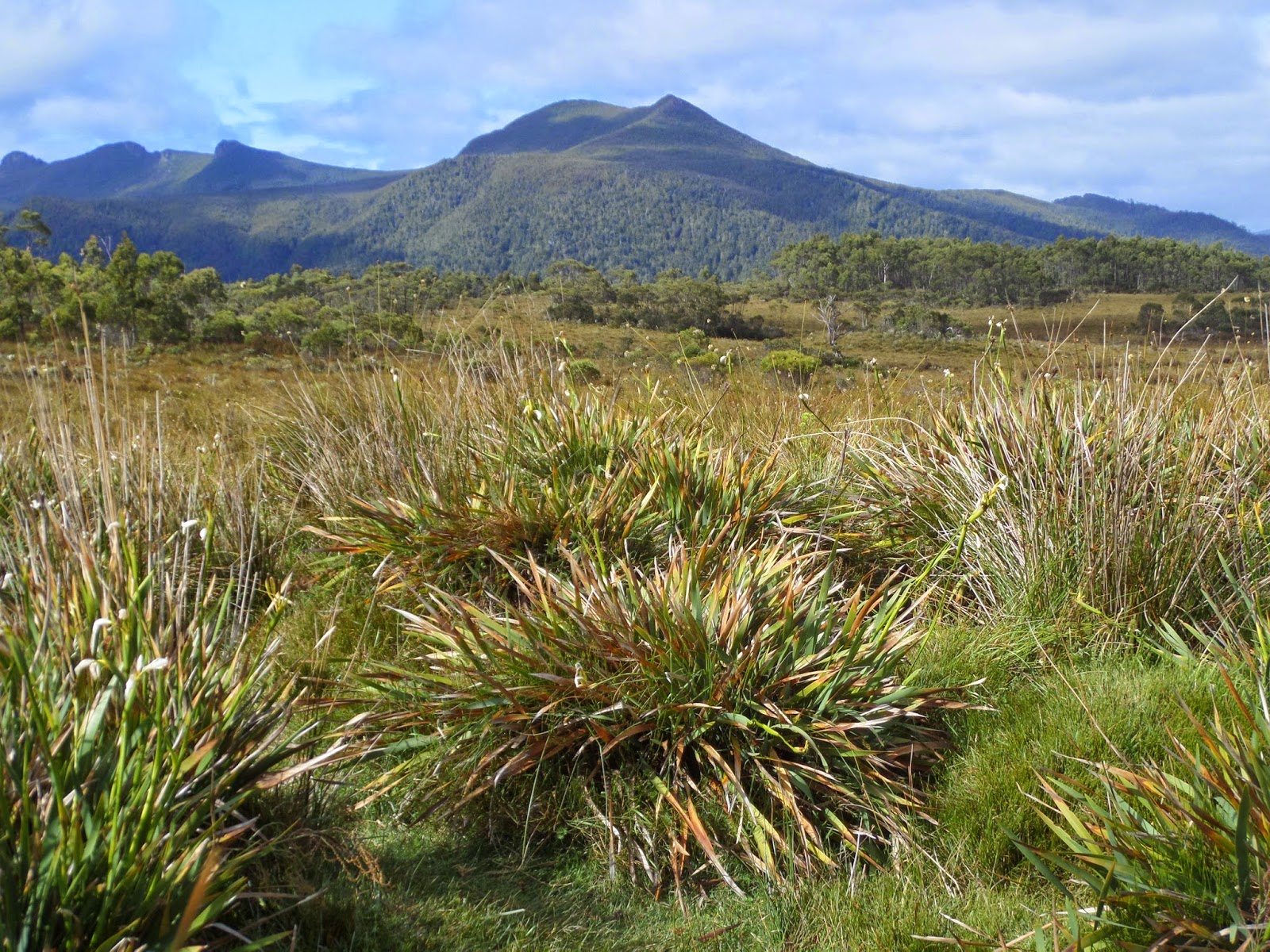
The
journey continued on a crisp but clear morning toward Queenstown. It was a
cyclist’s dream with incredible sights around every corner and views of the
Saint Clair National Park, location of Mt. Ossa, Tasmania’s highest peak of
1617m. Before a long windy stretch of downhill into Queenstown, a small pass
had to be navigated. Immediately after getting to the top, I could see the
environmental destruction of this former mining town. The barren hills around
town show evidence of the impact that clear cutting has had by the erosion of
the topsoil.
 |
| Saint Clair National Park |
|
 |
| Kangaroo Jack :) |
 |
| Saint Clair NP |
|
 |
| Lake Burbury |
|
 |
| Queenstown | |
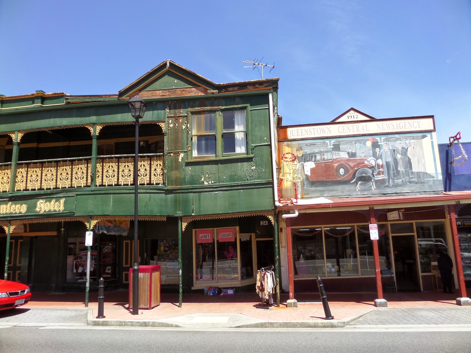 |
| Downtown Queenstown |
|
An
easy day ride with abundant sunshine got me to the picturesque port town of
Strahan on Macquarie Harbour, which was established for the surrounding mining
companies. Today it is mainly a place for tourists to visit and definitely worth
staying a couple of days to explore sights such as: the Ocean Beach with view
of the Southern Ocean, rainforest walks amongst fern trees, or a boat ride to
the Gordon River….
An
interesting sign of tourism I found, was the (see pic) church conversion to an
accommodation (guess the town ran out of
sinners). Within the Harbour also lies Sarah Island that harbored convicts
and had a reputation as one of the toughest settlements back in the early
1800’s.
 |
| Strahan | |
 |
| Hogarth Falls, Strahan |
|
 |
| Converted Church, Strahan |
|
 |
| Strahan Harbour |
|
 |
| Strahan Harbour |
|
With
Mike & Jill driving over to the west coast, I also had my private tour
guide with all the local knowledge as Mike is a walking encyclopedia. As they
drove to the old mining town of Zeehan, a bit farther north by “proper”
transportation, I lagged somewhat behind on my so far reliable Trek. With an
annual rainfall of 2500mm and a cloud cover, there was a good chance for us to
get rained on, so we spent a day at the interesting West Cost Pioneer Museum.
 |
| On the Road to Zeehan |
|
Instead
of biking up the highway, we then loaded the bike into the car. In Corinna, the
car was loaded onto a small ferry to cross the Pieman River, then we drove
100ks or so of gravel road on the Western Explorer to Arthur River. We spent a
day of sightseeing, visiting the “The Edge of the World”, watching Kite surfers
at Marrawah beach, patronizing the local pub….
 |
| Pieman River Crossing | |
|
 |
| On the Road to Arthur River |
|
 |
| Western Explorer |
|
 |
| The Edge of the World |
|
 |
| Kite Surfers, Marrawah |
|
 |
| Wallaby | |
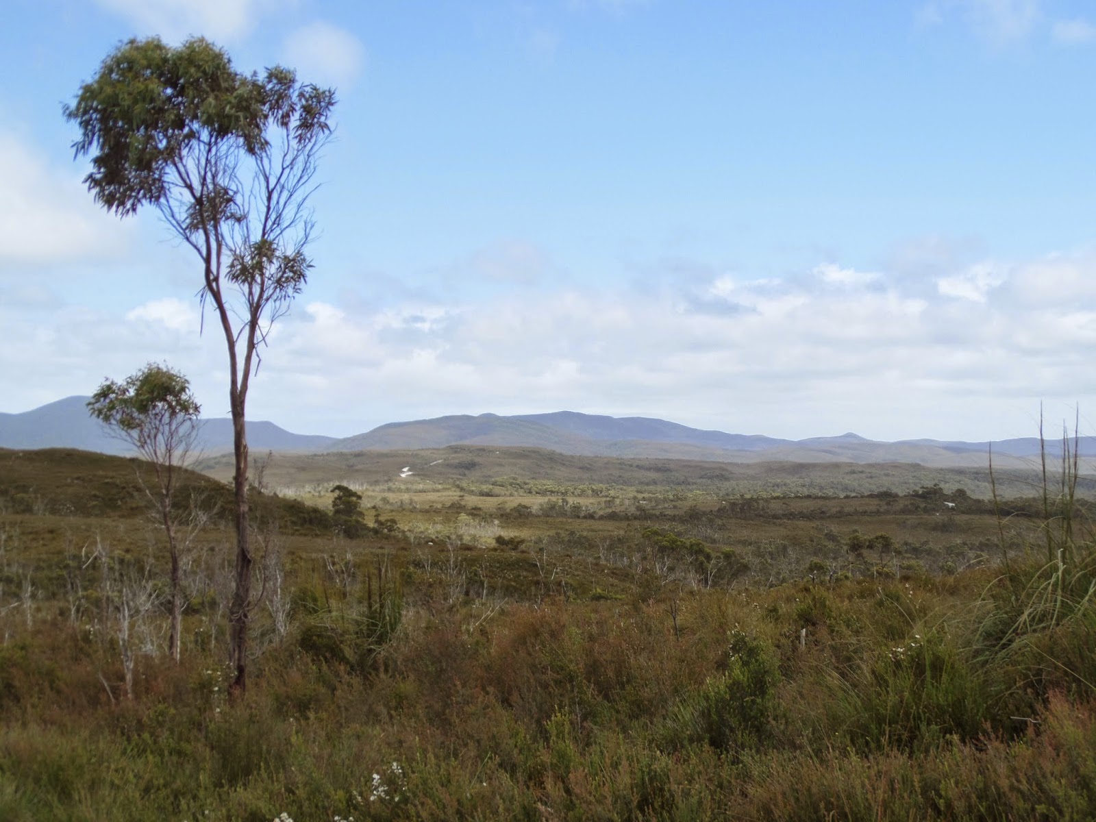
As
time just flies by, it was time to move along again on 2 wheels, although
traveling by car sounded rather inviting by just scanning the unfriendly skies.
To avoid the main road, I rode a stretch of 22k of gravel to Montagu, as well
as trying to beat some rainclouds in the distance, but eventually I lost that
race. Getting back onto the pavement and turning east, I finally got to enjoy
the “Roaring Forties”! Those are the strong West – East air currents in the
Southern Hemisphere, welcomed not only by sailors, but by cyclists alike.
 |
| Marrawah Coast with Approaching Rain |
|
|
By
those tailwinds I was nearly catapulted to Stanley. It felt like a waste of
time stopping for food or anything, as those kinds of opportunities don’t come
very often. Because of a wobble on the rear wheel, I was forced to stop to
investigate. A broken spoke was the cause, which probably occurred speeding
over the gravel road hitting some pothole. Fortunately it was a spoke on the
non-drive side, so the wobble wasn’t all that bad, as there aren’t any bicycle
shops on the west side of the island.
 |
| "The Nut" at Stanley |
 |
| Stanley | |
 |
| Stanley Odd Job Bob |
|
Slightly
wet, but by now under a partial blue sky, I wobbled into Stanley looking for
accommodation, food & …. After getting situated, I made my way to Stanley’s
main attraction, “The Nut”, a volcanic plug that is accessible via chairlift or
steep trail for a gorgeous long distance view. Because of the high winds the
chairlift leading up to the 143m top was out of action, so the steep trail had
to be conquered via manual labor.
Stanley
Just
a little extra exercise for a good night sleep….
 |
| Mike's Triumph Super Santa Tiger :) |
|
Until next time from down under


No comments:
Post a Comment