Head
West Young Man
The extra day in Walla Walla was well worth
it, watching the rain running off the roofs instead of feeling it pour into the
cycling shoes and all this while sitting in a café with a warm coffee in hand.
Other parts of the body were also happy with the break!
Leaving town the following day still under
dark clouds, my spirit was lifted by blue skies on the horizon. The going was
tough as expected though, following route 12 into a headwind. Moving along at
crawling speed with a decent shoulder to ride on, at least I could scan the
horizons a bit better. So far there hasn’t been much wildlife to spot, except
for deer, coyotes and snakes, but a big dead bird got my eye’s attention and I
stopped. What I saw was unique, as an owl had gotten struck by a car while
hunting a mouse, its prey still in the now lifeless claws (see photo); it was
kind of sad to see one of those large hunting birds getting killed.
I finally reached the Columbia River and
turned onto route 730, then also back into the State of Oregon following the
Columbia on the south side until Umatilla as the river divides the two states
of Oregon and Washington. The Columbia River is now more like a series of
lakes, controlled by over a dozen dams between Canada (where the waters
originate) and the US, for flood control and power production.
Crossing back over again to the Washington
side in Umatilla, I picked up route 14 to pedal west into a more forceful
headwind. Conveniently located just off route 14 is the Columbia Crest Winery.
Washington ranks second in the US in the production of wine, behind only
California. As it was just about time for lunch anyway, I stopped in for some
wine tasting, as it seems I always look for some kind of excuse to get out of
the wind. It was a nice break, but I do prefer California or Australian wines!
The Columbia Lakes are a paradise for wind
and kite surfers, as the winds always blow from the west. As the surfers are
praying for more wind, I was hoping for a break in the 20mph headwinds that
slowed me down to 10 mph on average, or as little as 4-5mph going uphill. One
eye was always trained on the hundreds of wind-turbines as I stared down the
Columbia, to see if they were slowing down. With all this wind, I started to
wear earplugs, as this constant noise was getting rather very annoying.
Washington is called the Evergreen State,
which I would say is true for what lays west of the Cascade Mountain Range;
however, the area to the east, it would be more truthful to call it Brown
State, or the Green Irrigation State! The West is getting about 36” of rain a
year while the East only 14”. This change can be seen within a short distance,
in a matter of a few miles, as dry brown grass turns green and forests are
starting to claim the countryside. Also what I finally could see was Mount
Hood, with over 11200 feet, Oregon’s highest peak. For 2 days, I could see the
mountain in the distance, but the peak was always covered in clouds even as the
rest of the sky around it was blue. At last it revealed itself as monolithic
snow-covered rock sticking out of the ground that is very eye catching.
As I was getting closer to Portland away from
the mountains, the winds started to ease up, to my relief. Portland is supposed
to be very bicycle friendly, but I was not sure how to pass through town, as
some bridges have to be navigated across. When I stopped in at Camas Bike &
Sport for info, Ed the owner was very helpful; his instructions and map put me
to the other side of town on excellent designed as well as scenic bike routes.
Crossing over St. Johns bridge with one last
view of downtown Portland in the distance, I turned west on route 30. Rush hour
traffic had started as well as an afternoon breeze. The increased traffic flow
was welcomed for a change, since I physically could catch a draft from the fast
moving cars and trucks, only those oversized logging trucks got to be somewhat
intimidating.
Continuing on, winding my way up the
Interstate 5 corridor to Olympia on route 411, I enjoyed views of Mount Hood,
Mount St. Helen & Mt. Rainier in the distance. Following streams, crossing
rolling green hills and passing through forests was very relaxing. The smell of
pine trees, freshly cut grass and drying hay was just like pedaling through the
countryside in Switzerland. Only another flat tire dampened the sprit slightly,
but as with all those nuts, bolts, screws, tools, hooks, lead weights, bungee
cords, wheel covers, broken glass, shredded tires…. laying at the edge of the
pavement, it is only a matter of time for it to happen. Plus all this roadside
rubbish reminded me again of where I was. If I only had collected all those
parts in the past, I would be a proud owner of a hardware store today!
Once getting onto route 101 and further up
the Olympic Peninsula, the surroundings became a lot more mountainous and rugged
with more forests and fewer open fields. Now for over week there hasn’t been
any rain, which made camping pleasurable. Even better yet was the lack of
mosquitoes. I still remembered the buzzing noise and blood sucking from 2 years
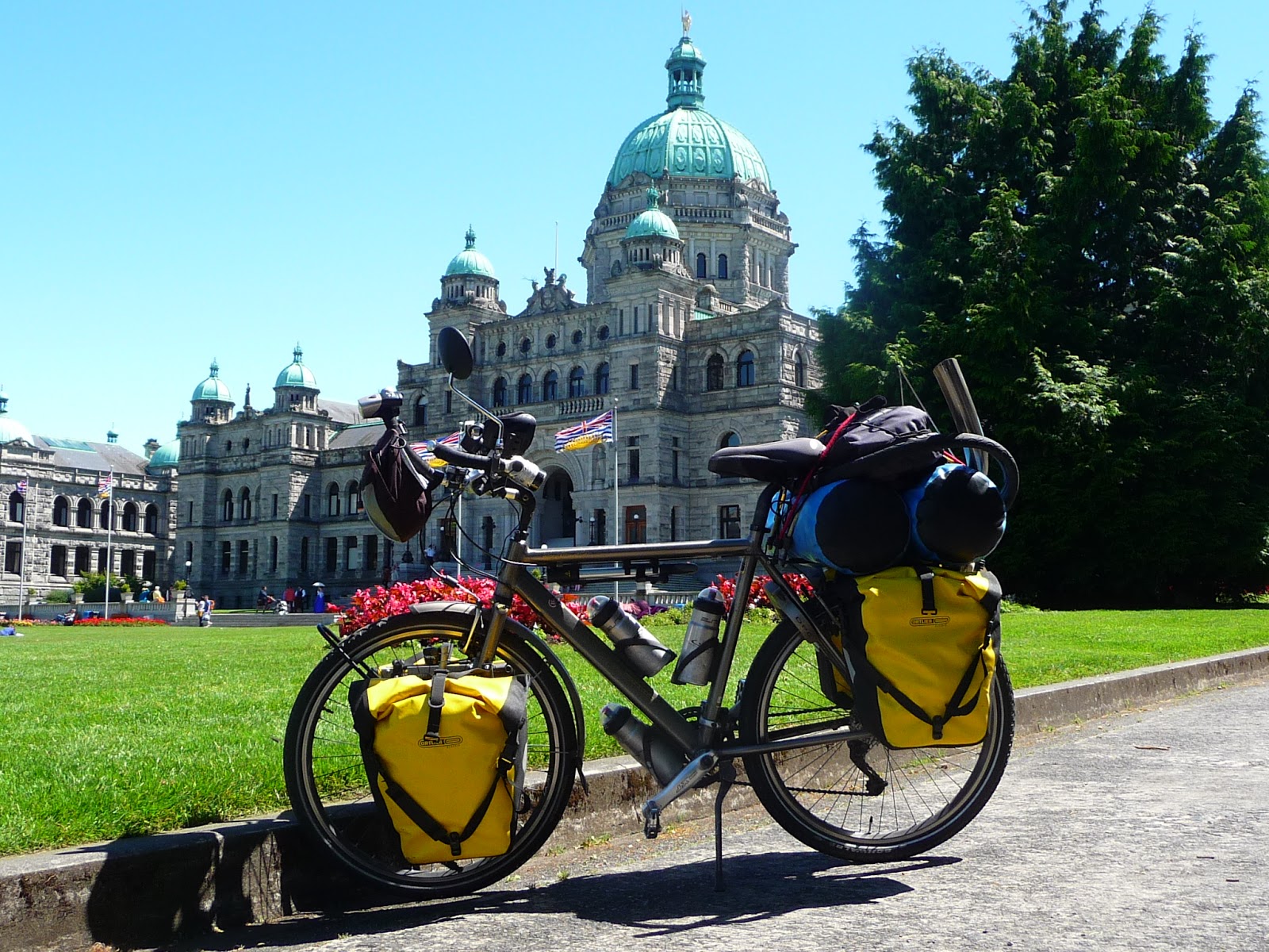
ago rather well. Rolling into Port Angeles to catch a ferry to Victoria on
Vancouver Island, I was greeted by a slight drizzle. As the ferry departed
towards Canada, we also left the moisture behind and steamed into the warmer
midday sunshine. As I wanted to catch another ferry over to Vancouver that
afternoon, I didn’t spend much time sightseeing in Victoria, which would be
accomplished on the return.
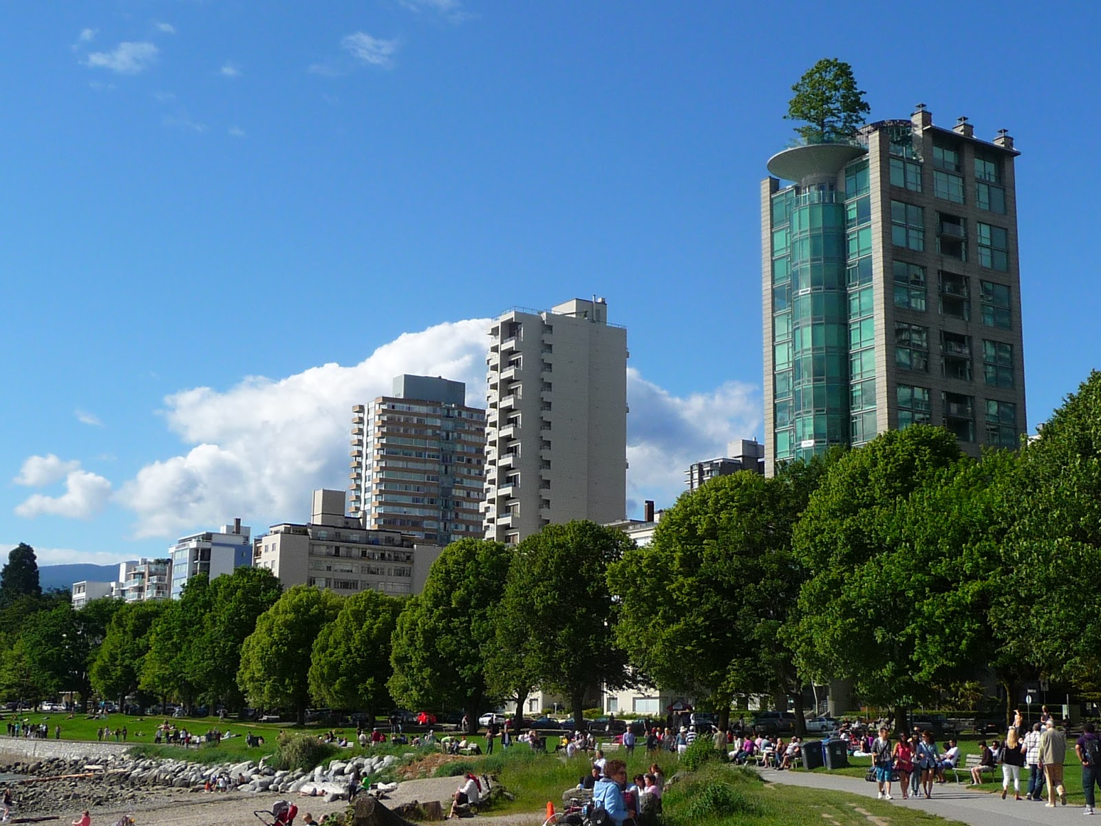
The ferry terminal to the mainland is about
22 miles north in Swartz Bay. Getting there was easier than imagined. The
”Lochside” bicycle trail is a beautifully laid out connection between the two
towns, as it passes through quiet neighborhoods, parks, fields and across
bridges. The timing was excellent and I was able to roll right onto the ferry
to sail into the late afternoon sun, with Kristie waiting on the other side.
After leaving 1000 miles of rubber on the roads, I will be giving my body parts
a rest for a week or so, before attacking highway 1 on the west coast down to
San Diego.
Until next time from a bit farther down the
road
Tony Bike